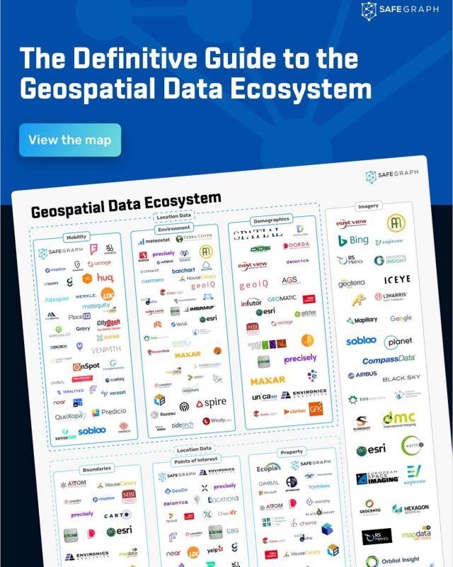
Geospatial Data Ecosystem Map

Guide to the providers in the geospatial data space.
By 2025, the geospatial analytics market is estimated to be valued at $96.3 billion. That’s a 12.9% CAGR over the forecast period beginning in 2020. Esri co-founder and CEO, Jack Dangermond, believes the future of the geospatial industry lies in the proliferation of location data and the ability to connect vast quantities of data for deeper insights about a physical place.
%d%a%d%a
Given these forecasts, the industry can expect to see a rapid increase in organizations incorporating geospatial data into their workflows and architectures as they become more data mature. This will vary by use case, with some aspects of a location being more important to one industry than to another. For example, a retailer may rely more on points of interest (POI) data to evaluate the competitive landscape, while an insurer may require detailed environmental data to underwrite policies. Whatever the industry, everything has a location, and geospatial data makes location actionable.
%d%a%d%a
With the multitudes of location data existing today and the rapid growth expected in years to come, what does the geospatial data ecosystem look like? How do datasets relate to one another, and how do organizations determine how to leverage location to make better decisions?
%d%a%d%a
SafeGraph is committed to democratizing access to data. To help organizations navigate the changing data landscape, we’ve mapped out a geospatial data ecosystem.
%d%a


